Guide · Hiking
Hiking routes near Barcelona
13 routes in Collserola, Montserrat, Montseny and the Costa Brava, with distance, time and difficulty for each
Figures are approximate and depend on your starting point and pace. Before you go, check the forecast, trail conditions and any access restrictions.
1. Carretera de les Aigües
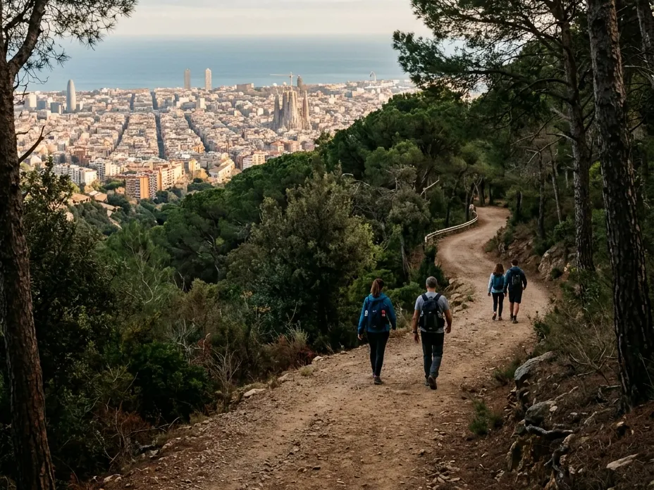
Collserola, Barcelona
One-way · 10 km · 2 h 30 min approx.
Difficulty: Easy
Rest stop: Viewpoints and an outdoor exercise area
An almost flat track with views over the whole city and the sea, right on Barcelona's doorstep.
Good to know: Get there by FGC train and the Vallvidrera funicular. It's 10 km one way: choose where to start and how to get back.
2. Tibidabo from Vallvidrera
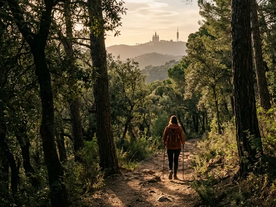
Collserola, Barcelona
Loop · 6,5 km · 2 h 15 min
Difficulty: Easy
Rest stop: Tibidabo square, with bars and restaurants
Climb to the top of Collserola via the Budellera spring, through pine woods with views of Barcelona.
Good to know: Starts at the Park Information Centre in Vallvidrera. Bring water.
3. La Mola
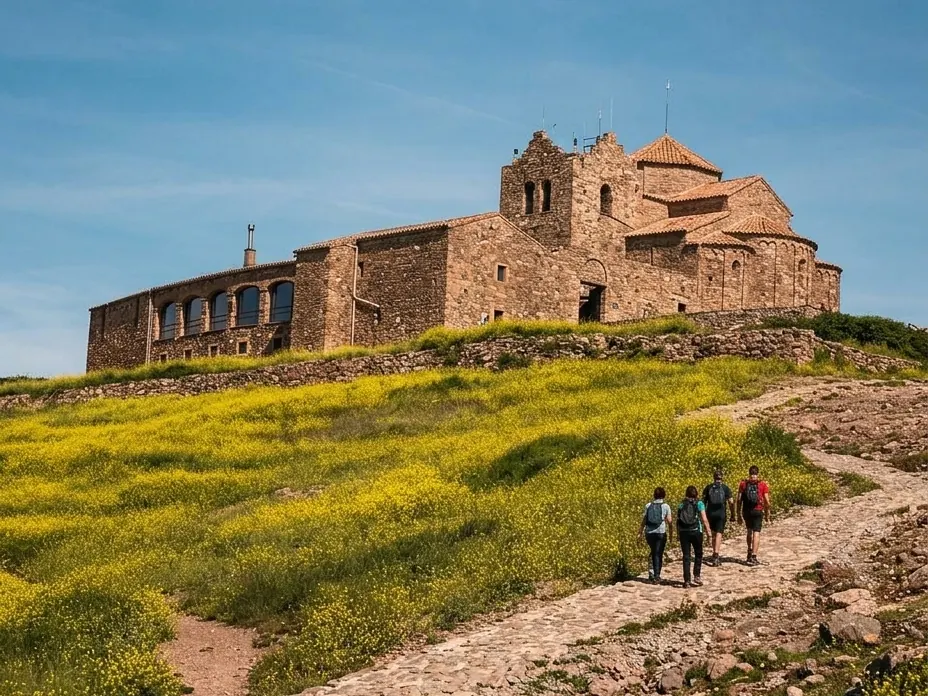
Sant Llorenç del Munt
Out and back · 12 km · 3 h 15 min to 4 h
Difficulty: Easy
A Romanesque monastery perched on a crag, with Montcau on the same route.
Good to know: About 500 m of ascent. There's no restaurant at the top: bring water and food.
4. Sant Jeroni
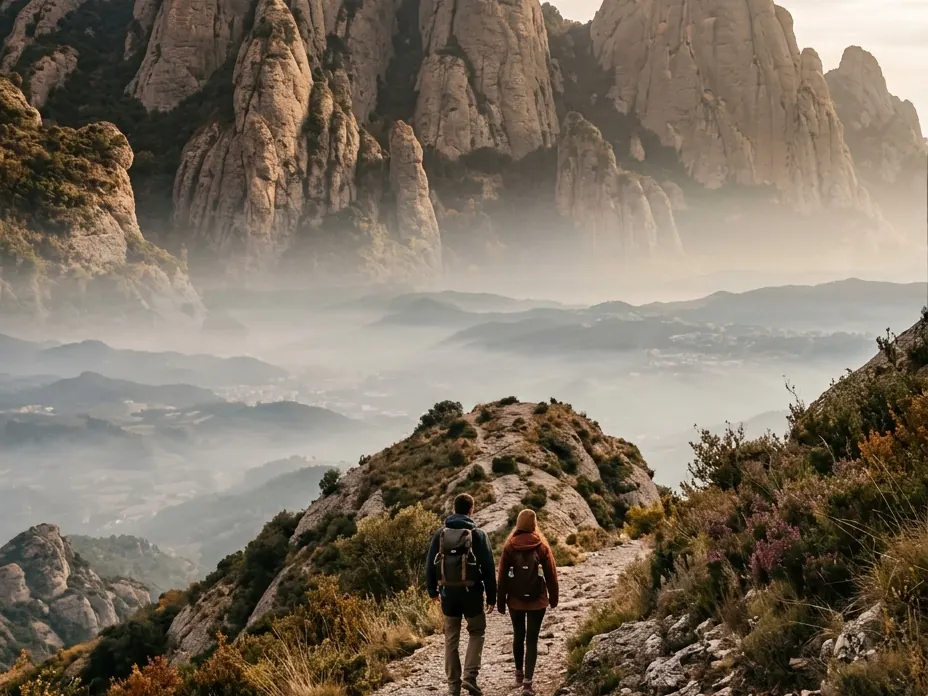
Montserrat
Out and back · 12 km · 3 h
Difficulty: Easy
Rest stop: Cafés at Montserrat monastery
The summit of Montserrat, at 1,236 m, among rock pinnacles with views over the whole massif.
Good to know: The last stretch is a steep staircase. Taking the Sant Joan funicular cuts it to 2 h 30 min.
5. Cadaqués - Cap de Creus
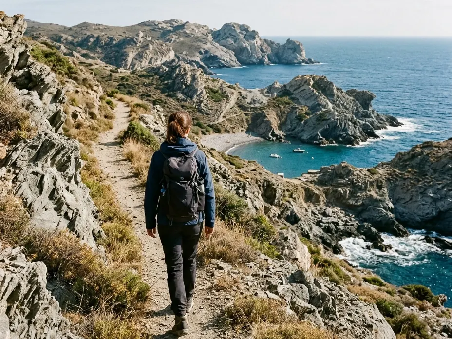
Cadaqués, Girona
Out and back · 11,5 km · 3 h
Difficulty: Easy
Rest stop: Restaurant at the Cap de Creus lighthouse
From the white village of Cadaqués to the Cap de Creus lighthouse, among rocks shaped by the tramontana wind.
Good to know: There's little shade. Starting from Portlligat makes parking easier.
6. Calella - Llafranc
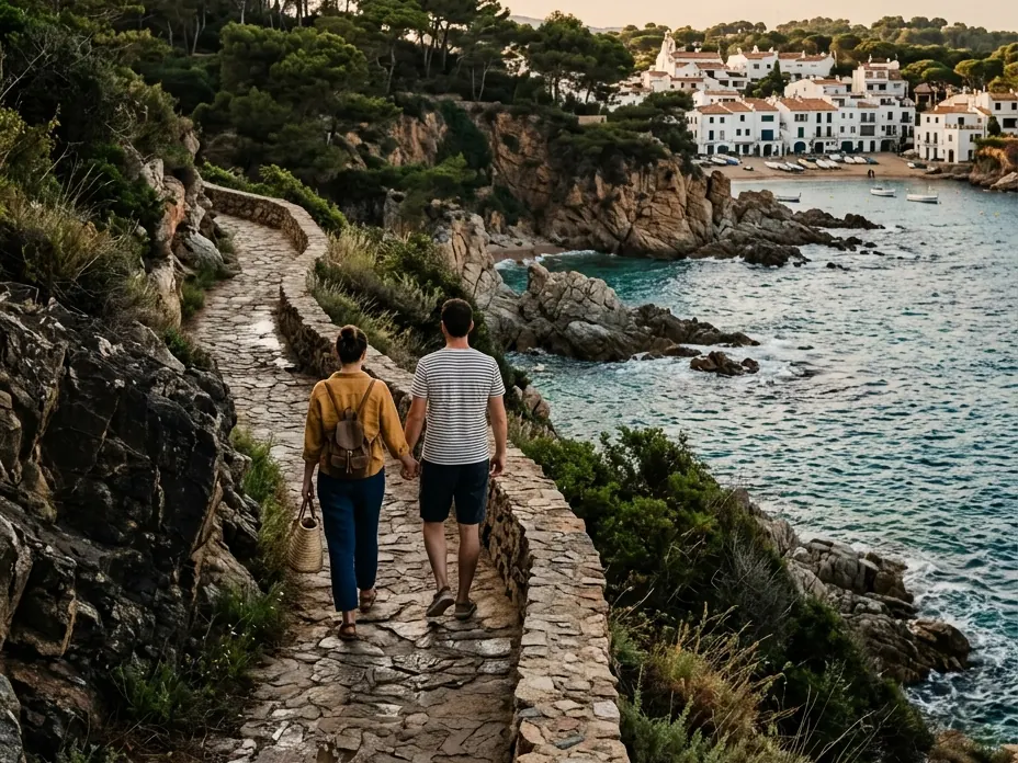
Palafrugell, Girona
One-way · 1,5 km · 20 min
Difficulty: Easy
Rest stop: Bars in Calella and Llafranc
Coves, pine trees and fishermen's houses on one of the prettiest stretches of the Costa Brava coastal path.
Good to know: You can extend it to the Sant Sebastià lighthouse, with a climb.
7. Sant Feliu - Sant Pol
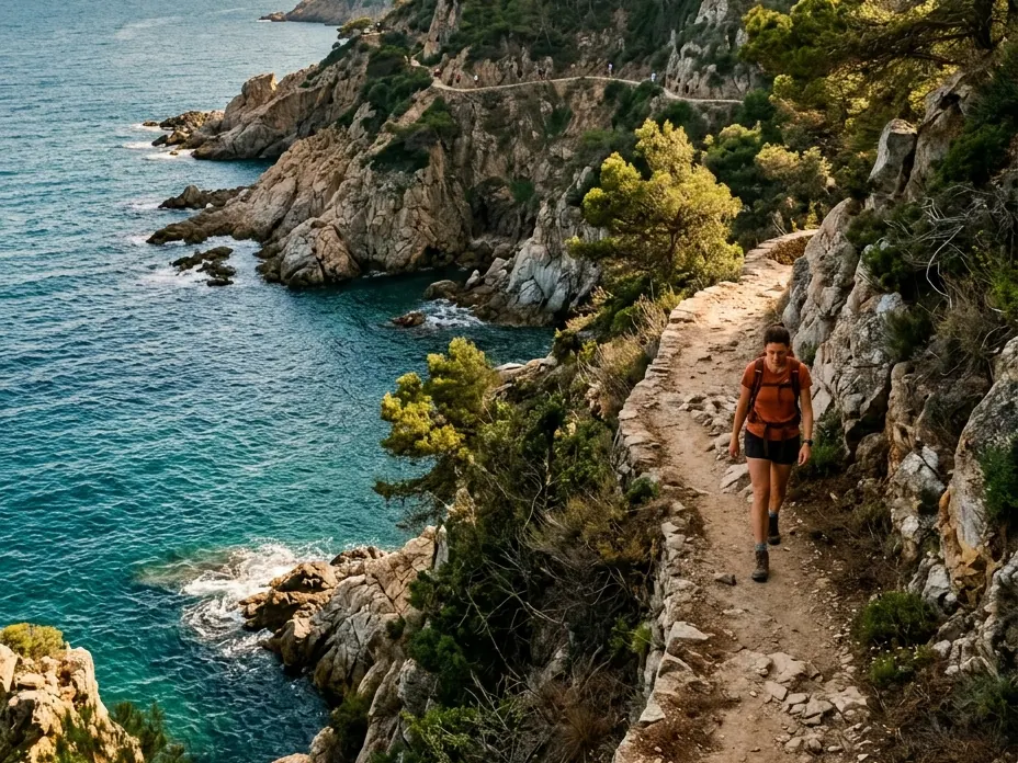
Sant Feliu de Guíxols, Girona
Loop · 6,5 km · 1 h 45 min
Difficulty: Easy
A coastal path past coves, cliffs and pines, with the sea always beside you.
Good to know: It's a full loop along the coastal path. Wear comfortable shoes and bring water.
8. Castell de Burriac
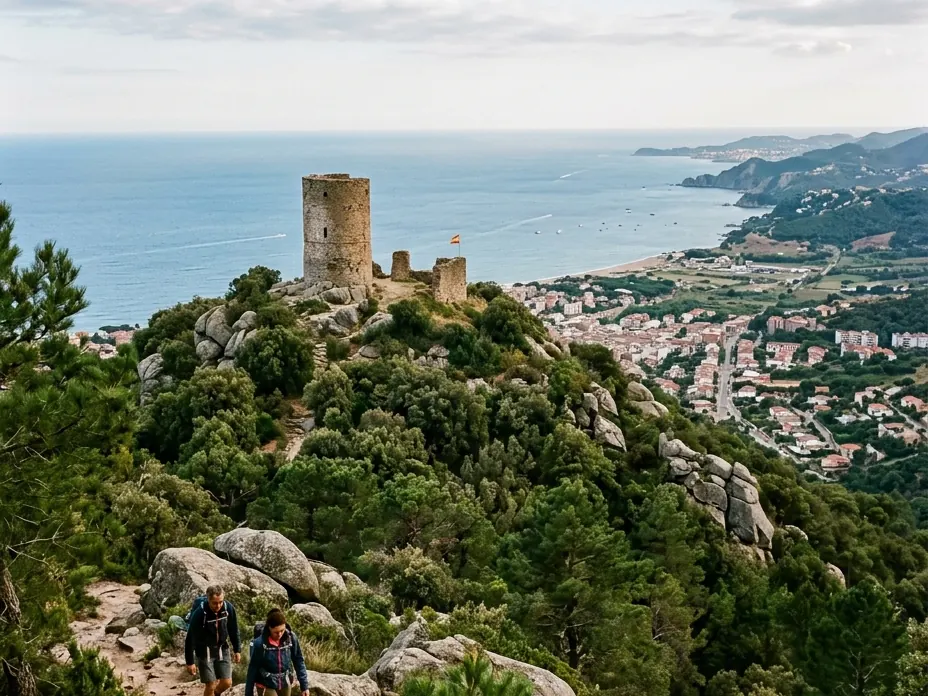
Cabrera de Mar
Loop · 5,5 km · 1 h 30 min to 2 h
Difficulty: Moderate
A castle high on the coastal range, with views of the sea and the Maresme coast.
Good to know: Well-marked path, with a steep climb and a stretch of steps.
9. Turó de l'Home
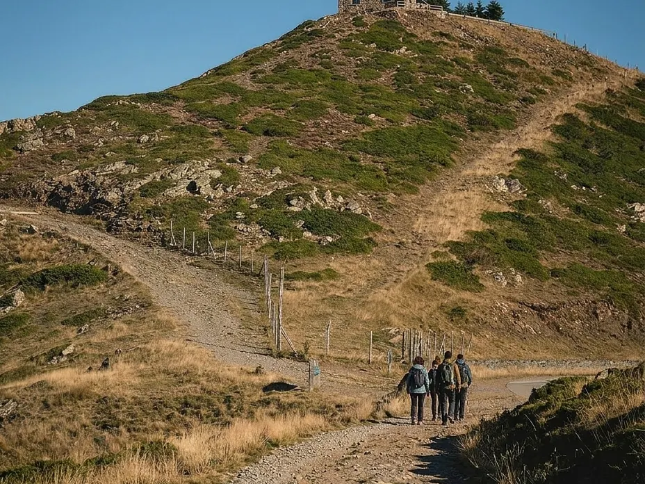
Montseny
Loop · 11 km · 3 h 45 min
Difficulty: Moderate
Rest stop: No mountain hut along the way
The summit of Montseny, at 1,708 m, just over an hour from Barcelona.
Good to know: Starts at Santa Fe, at 1,181 m. In winter there may be snow and the access road can close.
10. Cingles de Bertí
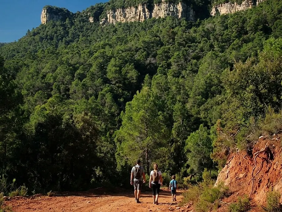
Sant Feliu de Codines
Loop · 16 km · 4 h 50 min
Difficulty: Hard
A loop of cliffs and forest passing Sant Miquel del Fai.
Good to know: It's demanding: almost 500 m of ascent. Visits to Sant Miquel del Fai need advance booking.
11. Cova del Salnitre
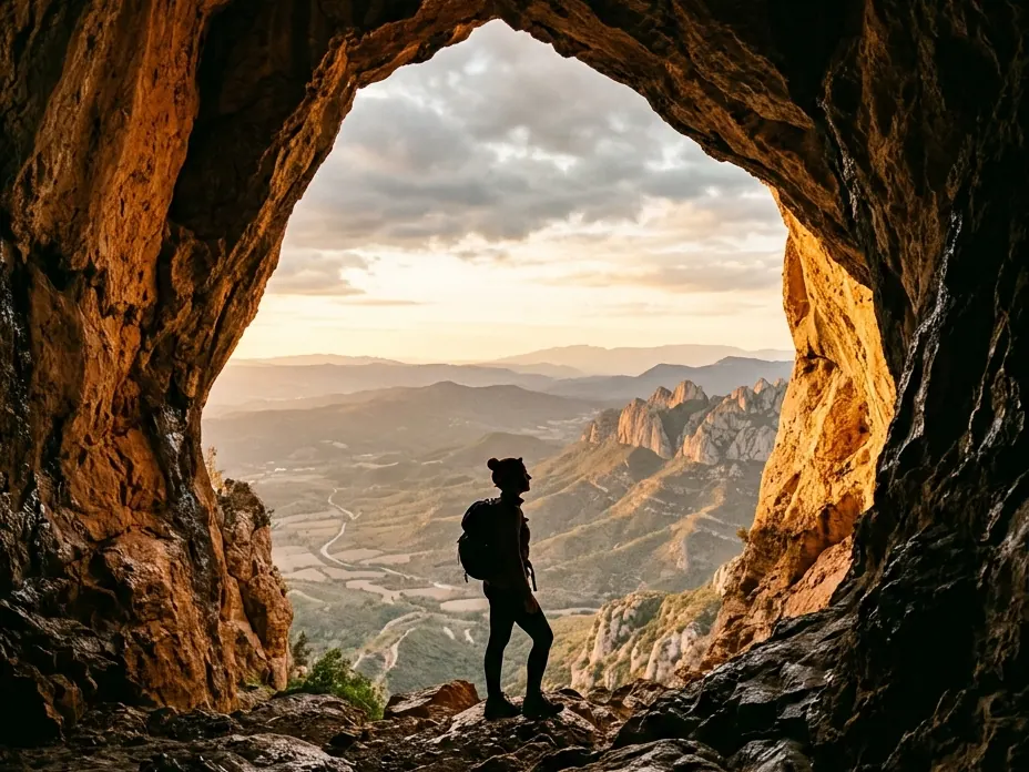
Montserrat - Collbató
One-way · 8,8 km · 2 h 30 min
Difficulty: Moderate
Rest stop: Facilities at Montserrat monastery
A descent from Montserrat monastery to Collbató, passing a huge rock cave.
Good to know: It's one-way, with steep and eroded sections. Entering the cave requires a paid guided tour.
12. Pedraforca
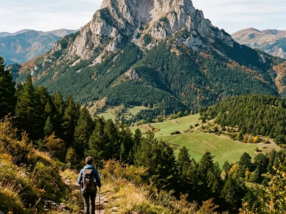
Saldes, Berguedà
Loop · 14 km · 5 h 30 min
Difficulty: Hard
Rest stop: Lluís Estasen mountain hut
The most iconic mountain in the Berguedà, with its unmistakable twin summit.
Good to know: For experienced hikers only: about 1,500 m of ascent and ridge sections.
13. Sa Punta and Aiguafreda
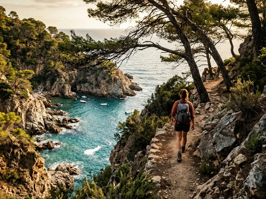
Begur, Girona
Loop · 13 km · 5 h 10 min
Difficulty: Hard
Rest stop: Restaurants in Sa Tuna
Hidden coves and pine trees right down to the water. Part of the route follows the coastal path.
Good to know: It's a long route with ups and downs. Bring water and a cap.
Illustrative images recreated from photos by Wikimedia Commons de Romang (CC BY 4.0); Wikimedia Commons de Alberto-g-rovi (CC BY 3.0), Jorge Franganillo (CC BY 3.0).